
Interactive maps
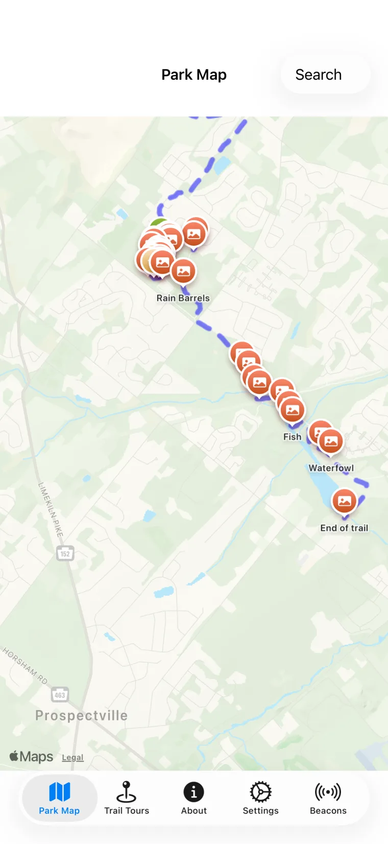
See trail routes, your position and nearby landmarks in one clear view.
A self-guided trail companion
Discover Warrington's parks at your own pace with interactive maps, local nature stories and optional hands-free landmark alerts.
Made for the trail
Open the map before you set out, follow a route or simply wander. The app keeps trail information, photos and stories close at hand.
See trail routes, your position and nearby landmarks in one clear view.
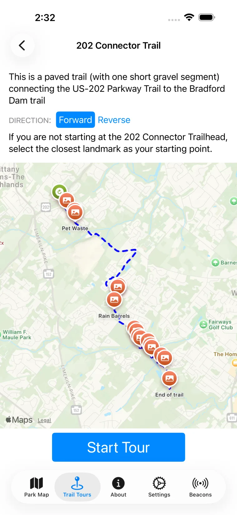
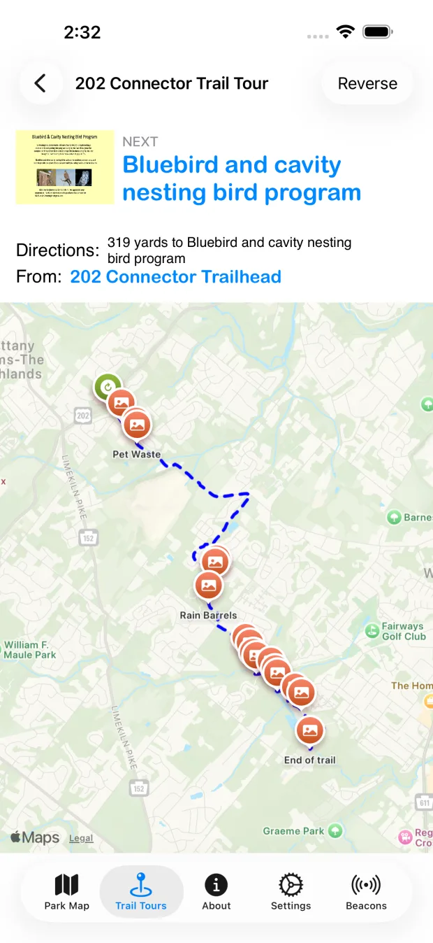
Choose a direction and receive step-by-step guidance from stop to stop.
Optional Bluetooth beacons can surface a landmark as you approach it.
VoiceOver, TalkBack, scalable text and simplified descriptions are built in.
How it works
The app works as a map, a trail guide and an optional hands-free companion. You decide how much guidance you want.
Choose Lions Pride Park or the US-202 trail area and browse what is nearby.
Preview the trail, select a direction and begin from the closest stop.
Read at your pace or let the app announce supported landmarks as you arrive.
Two ways to explore
From an all-ages park loop to a longer greenway connection, Warrington Talking Trails helps you see familiar places differently.
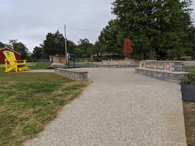
Paved and crushed-stone trails, accessible play, nature signs and community gathering spaces.
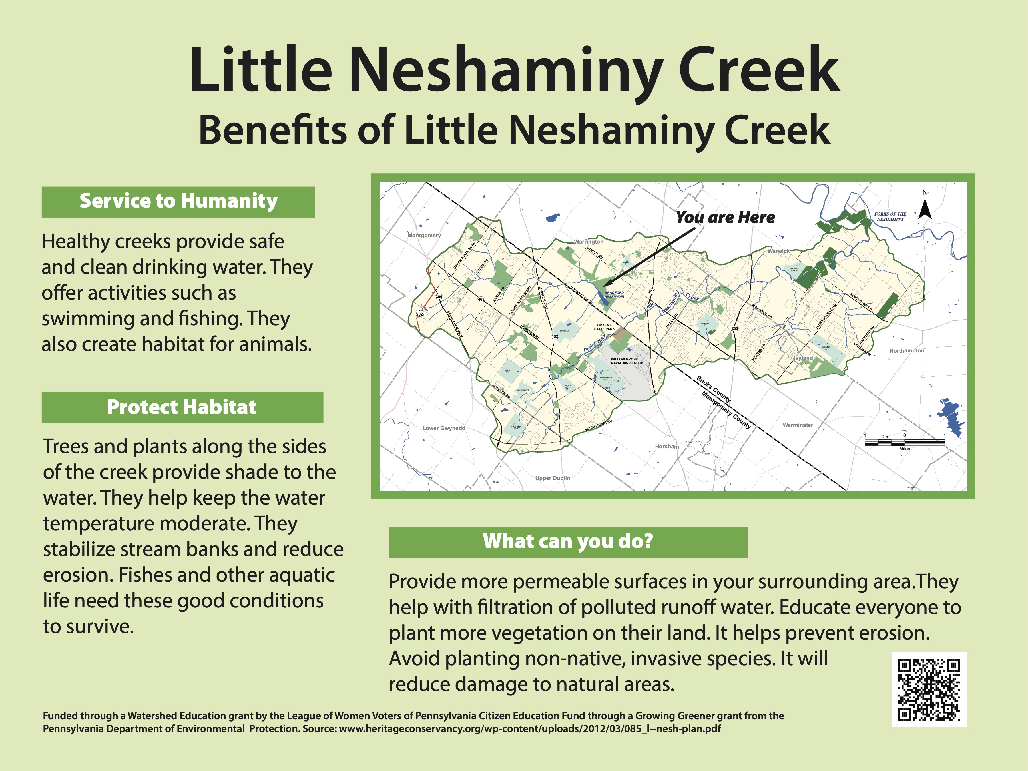
A longer route through meadows, wetlands and habitat restoration areas with stories along the way.
Explore your way
Every landmark remains available from the map and trail lists. Bluetooth guidance adds timely prompts, while the core experience remains easy to browse anywhere.
Start exploring
Download Warrington Talking Trails for iPhone, or help us get the Android app ready for everyone by joining our closed test.